Use cases
Get more out of it! LiDAR Scanner – (5) [Making better use of point clouds without modeling them]

The LiDAR Scanner Series (1) through (4) covers the following topics: What is LiDAR? What are the tips for measurement? How can we compose the collected data? We have explained these topics one by one.
The topic of this series is: How can we better use the collected point clouds in post-processing?
Many of Armonicos’ customers make better use of point clouds. For example, they use them to create models (sheets) for delivery to design or simulation systems. As expected, it is still difficult to work with point clouds as they are. We recommend modeling them.
However, there are ways to better use point clouds alone without modeling them.
Point cloud data collected with an iPhone/iPad LiDAR scanner can be used for various situations, including understanding current conditions, dimensional measurement, data generation, AR, and more.
Series (5) explains typical use cases for point cloud data collected with an iPhone/iPad.
Usage for current state assessment
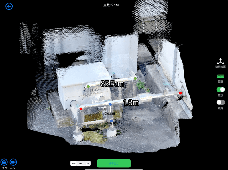
When you use 2D photos to assess the current condition of a building, it is sometimes difficult to get a clear picture of the overall shape of some parts of the building. By acquiring point cloud data and rotating a 3D image, the overall shape becomes easier to check.

The image above was created using Sakura3D SCAN, which collected point clouds and exported data as values calculated by the dimensional measurement function.
In this way, point clouds alone can be used for dimensional measurement.
(*When point clouds are used for measurement, the results will vary depending on the start and end points selected.)
Other benefits include the following:
- Dimensional measurement is possible even in complicated areas where manual measurement is impossible once you have obtained measurement data.
- Dimensional measurement is always possible if you store the scanned data in a place where it is readily available. You don’t have to return to the measurement site if it includes an area you missed.
By understanding the shape and measuring dimensions from the point cloud data, you can consider equipment replacement, new equipment layout, or equipment removal. It can also help you make plans or calculate estimates more accurately.
Usage for checking work progress
LiDAR scanning is useful when you just need ballpark numbers to get a general idea of current conditions or to preserve data records without spending much time.
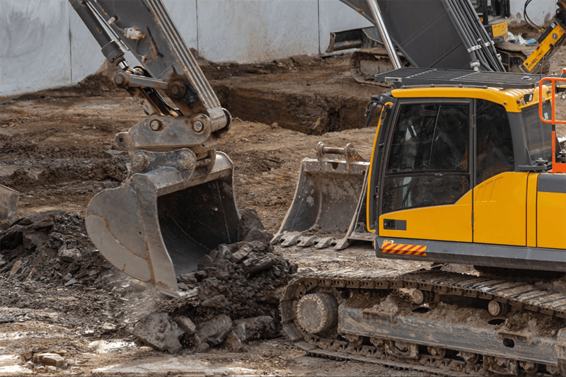
For example, you can track the progress of an excavation project by roughly weighing the amount of soil dug each day, and save the data.

If the amount or frequency of records is large, it takes time to manually record them. Scanning with an iPhone/iPad gives you the feel of taking photos and allows you to keep more accurate records than taking photos.
Usage as an alternative to photos
The last usage we explain here is using point cloud data instead of photos to do what you have traditionally done with photos.
- Preserving scenes

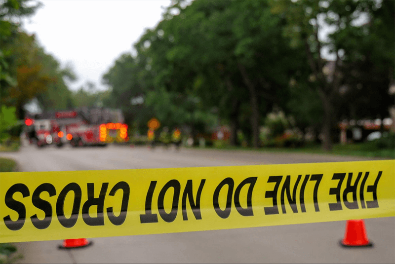
Scanning and storing a crime scene, such as a car accident or homicide, allows the viewer to investigate a part of the scene that could not be captured in photos or to review it later in 3D images.
- Catalog or album-like use


In addition to objects, people can also be scanned. It would be interesting to keep the data as a 3D album.
How was it?
We hope you have learned the various ways to use point clouds as they are.
In the next series, we explain modeling from point clouds.
tag : LiDAR Sakura3D SCAN
